


Last updated: August 2026
Of Iceland's active volcanoes, scientists currently rank Katla, Hekla, and Grímsvötn as highest-probability near-term eruption candidates — alongside the continuing Reykjanes Peninsula fissure cycle — based on eruption recurrence intervals, seismic swarm data, and GPS ground deformation readings. Bárðarbunga, Ljósufjöll, and Bláfjöll each carry longer-term risk. This article explains what places each volcano on the monitoring list and what an eruption from each would mean.
Key takeaways
- Katla last produced a confirmed major eruption in 1918; its historical inter-eruption interval of 40–90 years makes it statistically overdue, according to the Icelandic Meteorological Office (Veðurstofa Íslands)
- Hekla erupted in 1947, 1970, 1980, 1991, and 2000 — an average of once every 10–12 years in the modern record — and can provide less than one hour of seismic warning before an eruption begins
- Grímsvötn, beneath Vatnajökull National Park, erupted in 1998, 2004, and 2011, making it Iceland's most frequently erupting central volcano in the modern record
- The Sundhnúkur–Svartsengi system on the Reykjanes Peninsula is Iceland's most active today — nine fissure eruptions between December 2023 and August 2025, and as of 2026 the Icelandic Meteorological Office reports more stored magma than at any earlier point in the series, with a further eruption expected north of Grindavík
- Eyjafjallajökull's 2010 eruption grounded over 100,000 flights and affected approximately 10 million passengers across Europe — demonstrating how a moderate Icelandic eruption scales internationally
- Live volcanic hazard alerts and alert levels for all Icelandic systems are published in real time at en.vedur.is by the Icelandic Meteorological Office
Will Katla erupt again?
Katla will absolutely erupt again — the scientific question is not whether but when, and the monitoring community considers it Iceland's most closely watched volcanic system. Katla has erupted at least 20 times since Iceland's settlement in the 9th century, with major events in 1625, 1755, 1823, 1860, and 1918. The historical inter-eruption interval ranges from 13 to 95 years, averaging roughly 40–90 years. The absence of a confirmed major surface eruption since 1918 makes the current gap the longest in the documented record.
Katla's caldera and the jökulhlaup threat
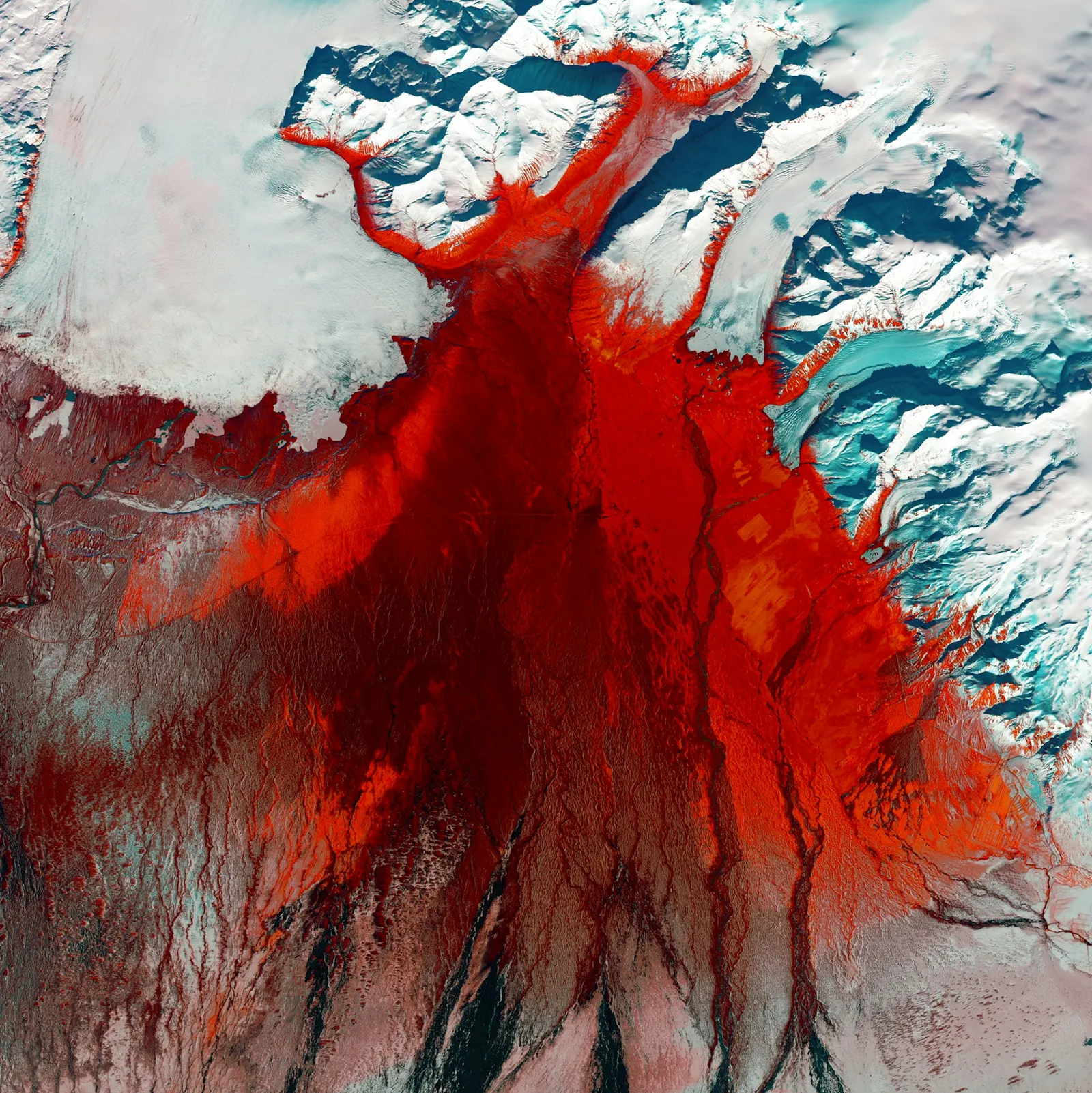
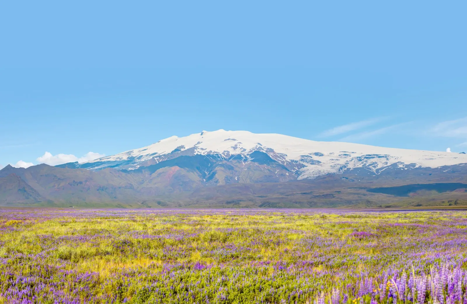
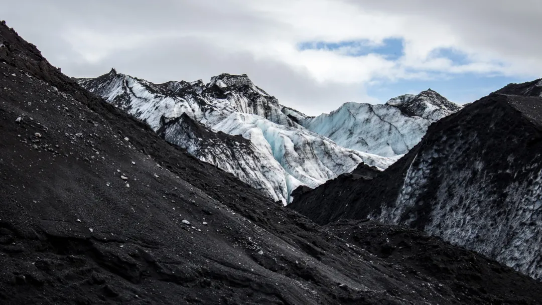
The defining hazard of a Katla eruption is not the lava or the ash plume — it is the jökulhlaup, the catastrophic glacial outburst flood generated when eruption heat melts the overlying Mýrdalsjökull ice cap. Mýrdalsjökull covers approximately 596 km² and holds Katla's caldera — roughly 10 km in diameter — under ice up to 700 metres thick. Historical Katla jökulhlaups have discharged water at rates exceeding 200,000 cubic metres per second, comparable to the combined flow of the Amazon and Mississippi rivers. Those floodwaters reach the South Coast (Suðurland) lowlands within 30 to 60 minutes. Route 1, the bridges across glacial rivers, and the populated flatlands between the glacier and the sea all lie directly in the flood path. Almannavarnir (Icelandic Civil Protection and Emergency Management) maintains an evacuation plan specific to this scenario; current status and exclusion zone maps are published at almannavarnir.is.
Katla's eruption history and the Eyjafjallajökull connection
The 1918 Katla eruption produced a jökulhlaup estimated at 300,000 cubic metres per second at peak discharge — and it remains one of the largest glacial outburst floods in Iceland's historical record. The 2010 eruption of Eyjafjallajökull is the more recent public landmark: that relatively small eruption grounded over 100,000 flights across European airspace over six days. Geologically, Eyjafjallajökull and Katla are adjacent systems, and three of Eyjafjallajökull's four recorded historical eruptions were followed by Katla eruptions within one to two years. This pattern does not guarantee cause and effect, but volcanologists at the Icelandic Meteorological Office monitor the relationship closely. Seismic swarms beneath Katla have occurred repeatedly in recent decades — none yet met the threshold for a confirmed eruption alert at surface level, but activity is continuous.
Is Hekla going to erupt?
Hekla is one of Iceland's two highest near-term eruption probability systems alongside Katla, and it presents a distinctive hazard profile: unlike most Icelandic volcanoes, which generate seismic swarms days or weeks before eruption, Hekla can transition from apparent calm to full eruption in under an hour. The Icelandic Meteorological Office has documented this in multiple modern eruption events. GPS instruments monitoring Hekla's flanks have recorded ground inflation — indicating ongoing magma accumulation — since the last eruption in February 2000.
Hekla's eruption record since settlement
Hekla has erupted more than 20 times since Iceland's settlement, including in 1947, 1970, 1980, 1981, 1991, and 2000 — an average of one eruption every 10–12 years in the modern era. The 1947 eruption ended a 102-year dormancy and produced an ash plume visible from mainland Europe. The 1991 eruption dispersed ash over Reykjavík within hours. Hekla's eruptions typically involve both lava flows and explosive ash emission, and its southern highland position means prevailing winds carry ash columns northeast across the populated areas and international air corridors of the North Atlantic. The fact that Hekla's most recent eruption was in 2000 — now more than 25 years ago — places it well beyond its modern average interval. As of 2026, it remains on the highest monitoring tier.
Bárðarbunga: Iceland's largest volcanic system
Bárðarbunga, buried beneath the northwestern margin of Vatnajökull National Park, produced the largest eruption in Iceland in over 200 years when its 2014–2015 Holuhraun fissure eruption created a lava field covering approximately 85 km² — an area larger than Manhattan. The eruption lasted six months and generated sulphur dioxide pollution that affected air quality across Europe for weeks. Bárðarbunga's summit caldera is Iceland's largest at roughly 65 km² and 700 metres deep, and the system is known for the magma intrusions that propagate tens of kilometres from the caldera before erupting at the surface. Continuous seismic monitoring by the Icelandic Meteorological Office tracks activity within the system, which has remained restless since 2015.
Grímsvötn: the most frequently erupting central volcano
Grímsvötn, also within Vatnajökull National Park, is Iceland's most statistically active central volcano, with confirmed eruptions in 1998, 2004, and 2011. The 2011 event sent an ash column 20 km into the atmosphere and briefly disrupted European air traffic. Like Bárðarbunga, Grímsvötn erupts beneath Vatnajökull's ice sheet, generating jökulhlaups from its associated subglacial lake — though typically smaller in scale than a Katla event. Grímsvötn's regular eruption cycle makes it a near-certain next eruption candidate; the main uncertainty is timing. The Icelandic Meteorological Office considers it among the three systems most likely to erupt in any given five-year period.
"Grímsvötn and Katla are the systems that concern us most in terms of near-term probability — both are overdue relative to their modern eruption intervals and show ongoing subsurface activity that we monitor around the clock." — Icelandic Meteorological Office (Veðurstofa Íslands)
For a complete geological framework explaining why Iceland's volcanic systems operate as they do, Iceland's Volcanoes Explained: Geology, Eruptions & Geothermal Power covers the full tectonic and mantle-plume context.
How are Iceland's next volcanic eruptions forecast?
Icelandic volcanologists assign eruption probability by integrating three datasets: historical recurrence intervals, seismic swarm intensity, and GPS-measured ground deformation indicating magma accumulation. No volcano can be predicted to erupt on a specific date, but this combination allows the scientific community to publish ranked alert levels for every active system. As of 2026, those live rankings are published continuously at en.vedur.is.
Ljósufjöll and Bláfjöll: western Iceland's overlooked volcanic systems
Public discussion of Iceland's eruption risk concentrates almost entirely on the southern and central highland systems. Ljósufjöll, a volcanic system on the Snæfellsnes Peninsula in west Iceland, has produced multiple Holocene eruption events and remains geologically active. In late 2024 and 2025 the system drew scientific attention for the first time in years: an earthquake swarm near Grjótárvatn — including an M3.2 event in January 2025 — was attributed by the Icelandic Meteorological Office to a deep magmatic intrusion at 15–20 km depth. Seismicity eased through 2025 with no sign of magma reaching the surface, and the aviation colour code stood at green by early 2026 — but the episode was a reminder that a recurrence interval measured in centuries, not decades, is not the same as dormant. It stays in a different near-term risk category to Katla or Hekla. Bláfjöll is a volcanic field in the Western volcanic zone approximately 20 km southeast of Reykjavík — the closest active volcanic system to Iceland's capital. Both are monitored as part of Iceland's national volcanic surveillance network. Neither presents the near-term probability of the southern highland systems, but their existence underscores a fundamental geological reality: Iceland has 30 active volcanic systems across the country, not just the ones that made international news.
Live monitoring and the Fagradalsfjall benchmark
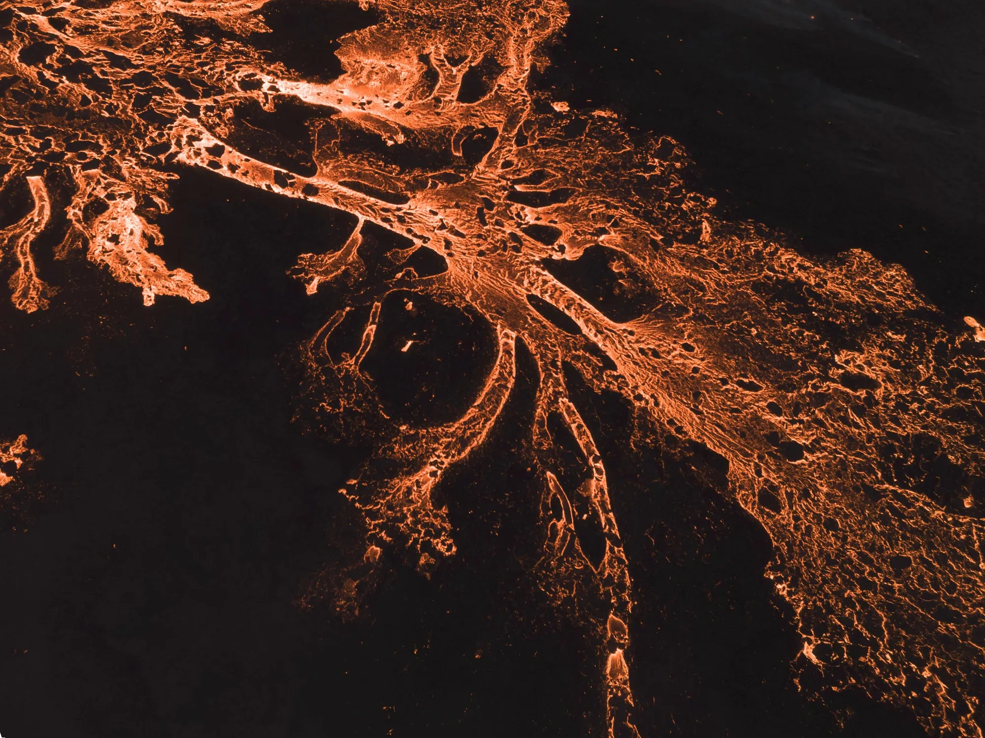
The Reykjanes Peninsula eruption cycle that began at Fagradalsfjall in March 2021 has become the most closely documented fissure eruption sequence in Iceland's modern record, generating data that scientists have used to refine eruption prediction models for fissure systems elsewhere. That activity moved in December 2023 to the Sundhnúkur crater row beside Grindavík, part of the Svartsengi system, which produced nine fissure eruptions through August 2025. As of 2026 the Icelandic Meteorological Office reports the highest stored-magma volume of the entire series and considers a further eruption north of Grindavík likely — which makes Sundhnúkur–Svartsengi, in practice, Iceland's most probable next eruption, even though each event so far has stayed within a small zone and left flights, the Ring Road, and Reykjavík unaffected. Road access to active lava fields on the Reykjanes Peninsula is managed in real time by Almannavarnir; current status is at almannavarnir.is. For practical guidance on accessing Iceland's volcanic field sites, Iceland Volcano Tours: Geology, Routes & Safety Guide covers current access and safety protocols.
Will the Iceland volcano affect the UK?
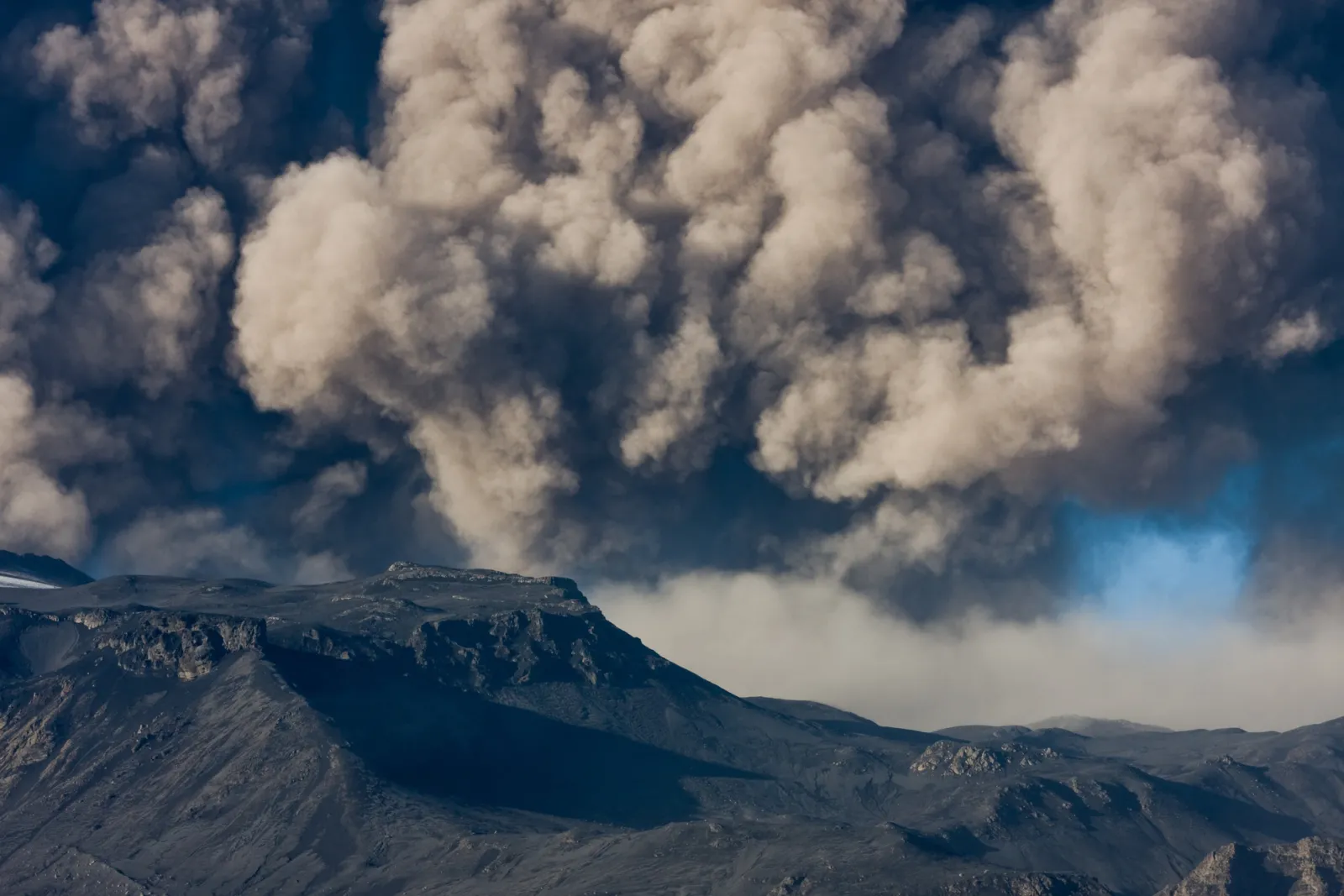
Yes — significant Icelandic volcanic eruptions can and do affect the UK, primarily through ash cloud dispersal that grounds or reroutes transatlantic flights, and potentially through sulphur dioxide gas affecting air quality. The mechanism is atmospheric: Iceland sits upwind of the UK under prevailing westerly circulation for most of the year, and volcanic ash columns injected into the upper atmosphere — above 10 km — drift southeast across the North Atlantic within hours. The Eyjafjallajökull 2010 eruption grounded UK airports for six days and affected over 10 million passengers, despite being classified as a relatively small eruption by Icelandic standards.
A Katla eruption would likely produce a larger ash column than Eyjafjallajökull's 2010 event. Katla's historical eruptions have generated ash volumes measured in cubic kilometres — orders of magnitude greater than the 2010 event that shut European airspace. The extreme case in recorded history is the Laki fissure eruption of 1783–1784, which killed approximately 25% of Iceland's population and caused an estimated 23,000 excess deaths in Britain from sulphur dioxide inhalation and the associated "dry fog" that settled across Europe for months. Laki is a separate volcanic system from Katla or Hekla, but its impact illustrates the scale at which Icelandic volcanic events project force across the European continent.
The UK Civil Aviation Authority and the Icelandic Meteorological Office maintain joint monitoring protocols for ash cloud modelling. Real-time volcanic activity data from Iceland is at en.vedur.is.
Before the next eruption — experience the geological reality from Reykjavík
Understanding Iceland's volcanic systems is one thing. Experiencing the forces that create them is something else entirely. The volcanoes covered in this article — Katla, Hekla, Bárðarbunga, Grímsvötn — are not remote abstractions. They are live systems whose seismic data, eruption footage, and tectonic dynamics can be encountered in central Reykjavík without setting foot on a lava field.
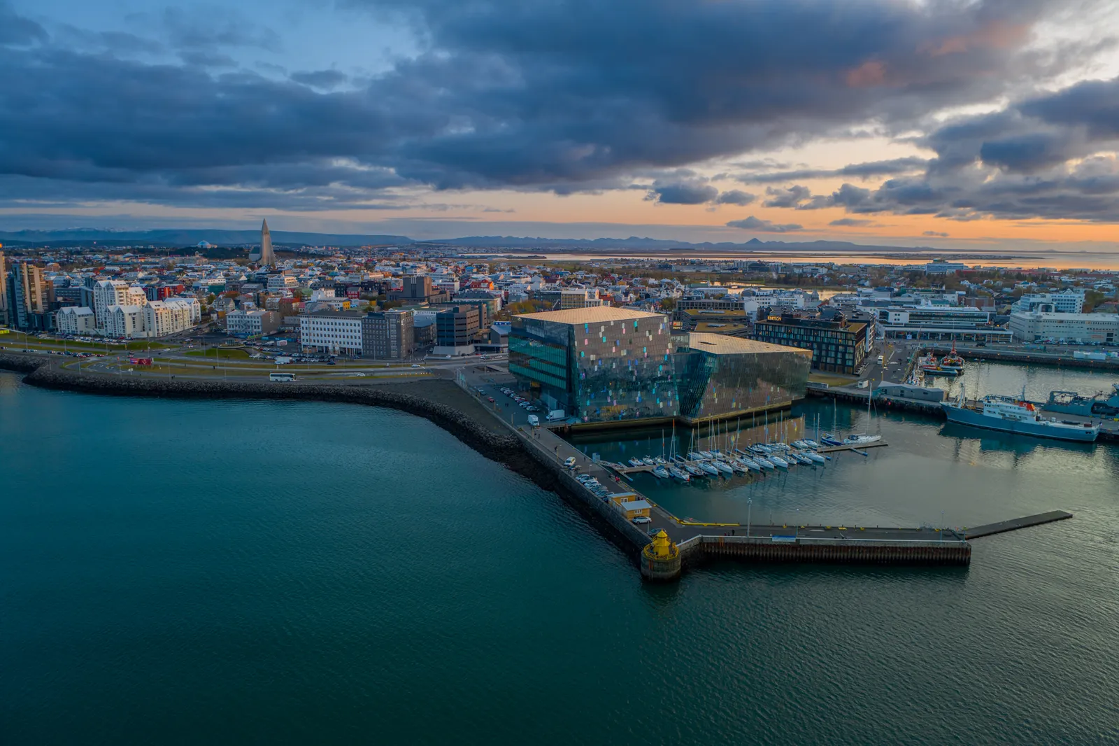
Volcano Express, inside Harpa Concert Hall on Reykjavík's eastern waterfront, is a cinematic motion-simulator volcano experience using actual footage from Iceland's 2021–2024 Reykjanes Peninsula eruptions. Every ticket includes a 30-minute self-guided pre-show area featuring a live earthquake monitor displaying real seismic data from Iceland's active volcanic zones, an interactive eruption map of the country's major volcanic systems, short documentary films, and the Instacrater photo experience. A 10-minute cinematic ride follows, with dynamic motion seating and real heat effects calibrated to the physical forces of a fissure eruption. Shows start every 15 minutes from 10:00 to 20:00 daily. Volcano Express runs from floor K2 of Harpa, year-round and weather-independent — regardless of what Iceland's volcanoes are doing on the day of the visit. For anyone who has just read this article and wants to understand Iceland's geology from the inside out, that live earthquake monitor is the right place to start.